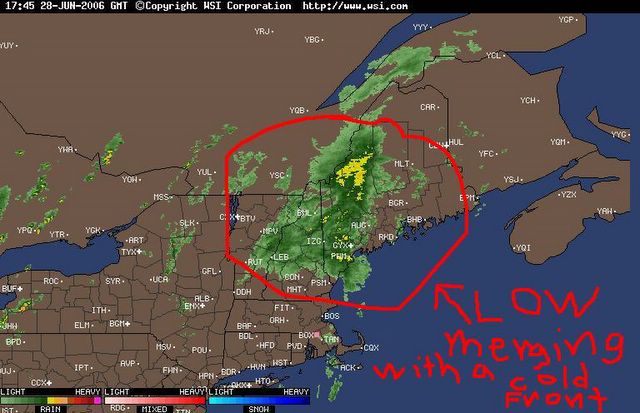
Doppler Radar Composite, showing the former tropical low now merging with a cold front over Western New England. This feature is continuing to rapidly move NNE at between 20 and 25 mph, as it drops brief, but heavy rainfall over said area.

posted by Advackia at 1:21 PM
![]()
![]()

0 Comments:
Post a Comment
<< Home